Base Layer
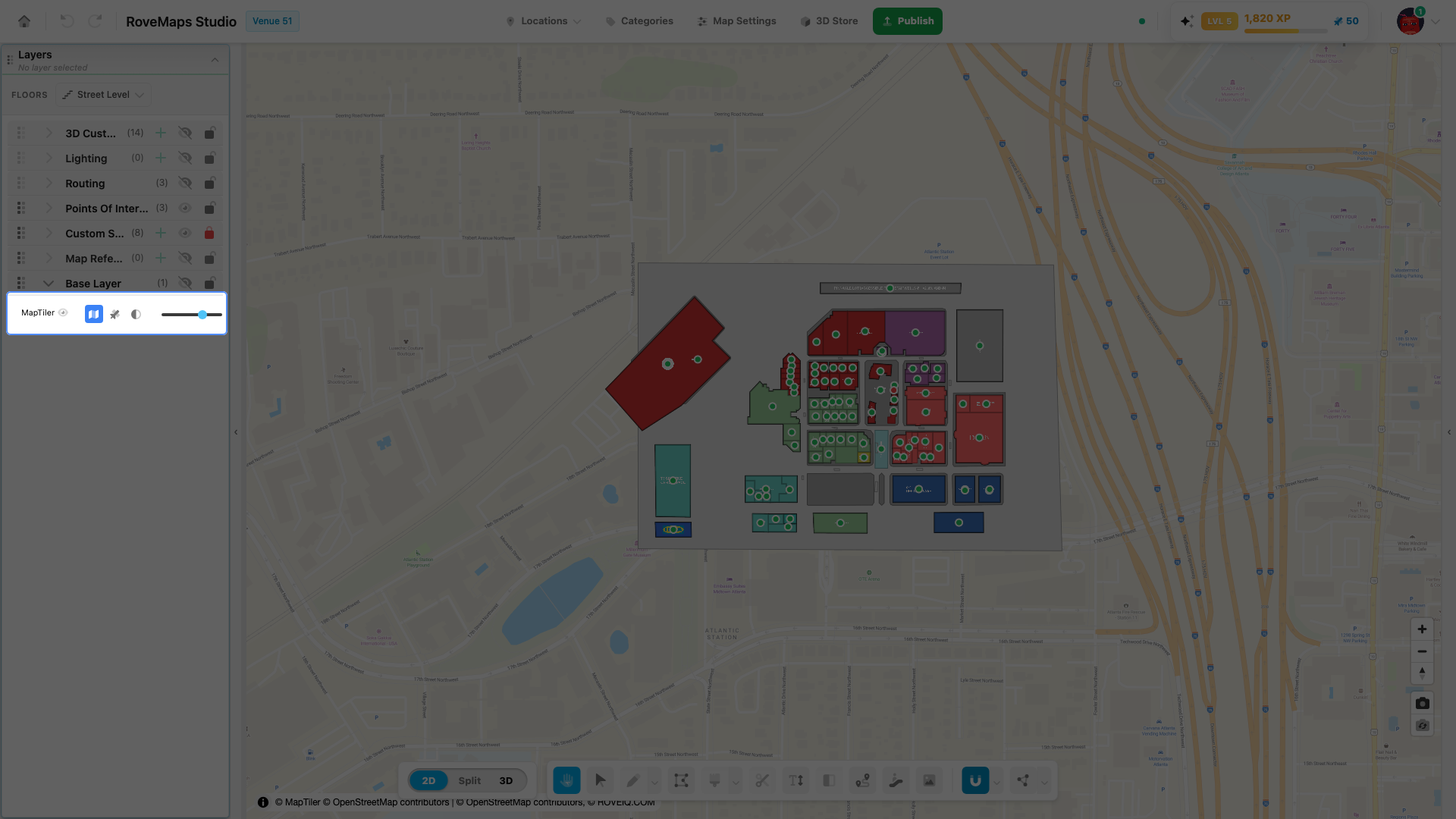
The base layer is the map that sits beneath your venue — streets, place labels, and terrain served by MapTiler. It’s a backdrop for context, not part of your published map data. Its Default style is the OpenStreetMap street map (MapTiler renders OpenStreetMap data into those tiles); you can switch it to aerial imagery or a muted grey. Control its style, opacity, and visibility from the MapTiler row in the Base Layer group of the Layers panel.
Show or hide the base map
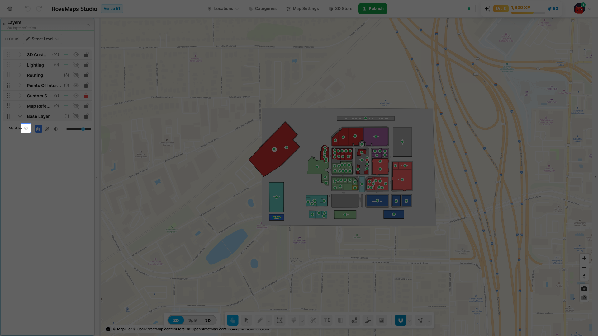
Open the Layers panel and expand the Base Layer group. The MapTiler row carries an eye toggle:
- Click the eye to hide the base map — the backdrop disappears, leaving your venue on a plain canvas.
- Click it again to show the base map.
Notes
- The style buttons and opacity slider only appear while the base map is visible. If the row shows just a crossed-out eye, click it to show the layer first.
- Hiding the base map is handy when you want to focus on your own structures and styles without the street map underneath.
Activate satellite mode
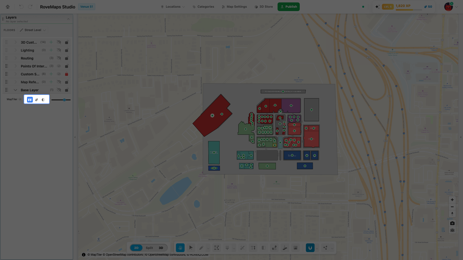
The base map can show aerial imagery instead of the default street map. Switch its style from the three buttons on the MapTiler row:
- In the MapTiler row, hover the style buttons to see each label: Default, Satellite, and Monochrome.
- Click Satellite to switch the base map to aerial imagery.
Notes
- Satellite uses MapTiler’s Hybrid style — aerial imagery with street and place labels overlaid.
- Default is the OpenStreetMap street map; Monochrome is a muted grey backdrop that keeps your venue features easy to read.
- The Paint Tool forces the base map back to the default street style while it is active, so satellite imagery is hidden until you leave that tool. Switch back to Satellite from this row afterward if you need it.
Activate OpenStreetMap mode
The Default base style is the OpenStreetMap street map — MapTiler renders live OpenStreetMap data (streets, place labels, land use) into those tiles. So OpenStreetMap is already what you see when a venue first loads.
If you’ve switched to Satellite or Monochrome, return to the OpenStreetMap street map from the same three buttons on the MapTiler row:
- In the MapTiler row, click Default.
- The backdrop returns to the OpenStreetMap street map.
Notes
- There is no separate “raw OpenStreetMap tiles” option — Default is the supported way to show the OpenStreetMap base map, served through MapTiler.
- Showing OpenStreetMap in the backdrop is different from copying its geometry into your venue. To bring real OpenStreetMap shapes (buildings, roads, parks) into your own map, use the Paint Tool — see Copy shapes from OpenStreetMap.
Blend the base map with opacity
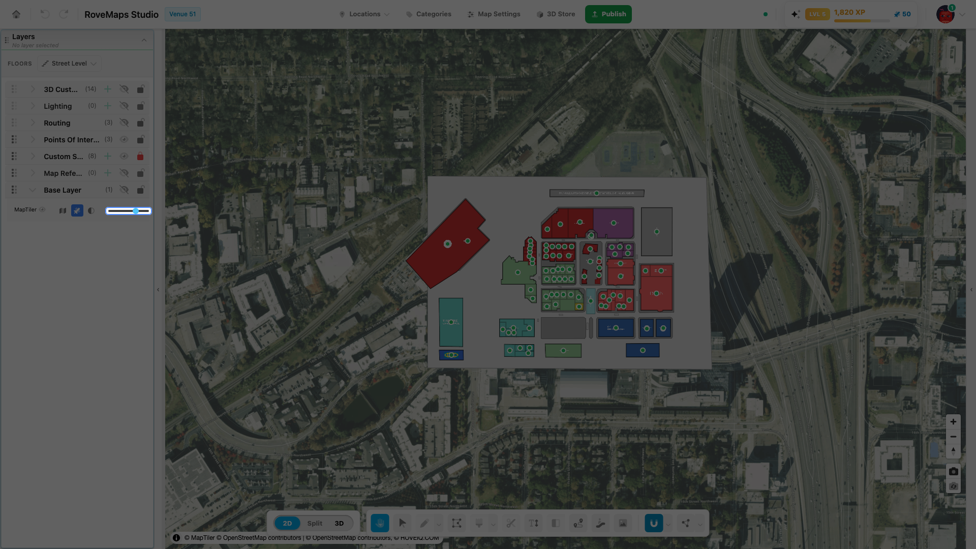
Below the style buttons, the opacity slider blends the base map with your venue:
- Drag the slider left to dim the backdrop, or right toward 100% for full strength.
- The percentage next to the slider shows the current level.
Lowering the opacity fades the imagery without hiding it — useful for keeping aerial context visible while your own layers stay in front.
Copy shapes from OpenStreetMap
Showing OpenStreetMap in the backdrop is one thing; copying its geometry into your venue is another. To trace real-world features from OpenStreetMap and turn them into your own structures or custom styles, use the Paint Tool — not the base layer row. Hover a building, road, or park to preview it, then click to paint a copy onto a structures or custom style layer. While the Paint Tool is active, the base map switches to the default street style so you can see what you’re tracing.
See Paint from OpenStreetMap for the full how-to.
OpenStreetMap attribution
OpenStreetMap data is © OpenStreetMap contributors, published under the Open Database License (ODbL). Attribution is required wherever OpenStreetMap data is shown or reused:
- In the editor and published maps, the base map is served with its built-in ”© MapTiler © OpenStreetMap contributors” credit, shown in the map’s attribution control.
- When you copy OpenStreetMap geometry with the Paint Tool, the ”© OpenStreetMap contributors” credit stays visible while you paint, and your published map then contains OpenStreetMap-derived data — keep the OpenStreetMap attribution on any map or embed that includes it.
See Acknowledge OpenStreetMap for the Paint Tool acknowledgment and details.
Glossary
- Base layer — the MapTiler map beneath your venue (streets, labels, imagery). Context only; not part of your published data.
- MapTiler — the provider that serves the base map tiles.
- Default / Satellite / Monochrome — the three base map styles: the OpenStreetMap street map, aerial imagery, and a muted grey backdrop.
- OpenStreetMap (OSM) — the open, community-mapped data behind the Default base style and the Paint Tool, © OpenStreetMap contributors under the ODbL.
- Opacity — how strongly the base map is drawn, from 0% (invisible) to 100% (full strength).