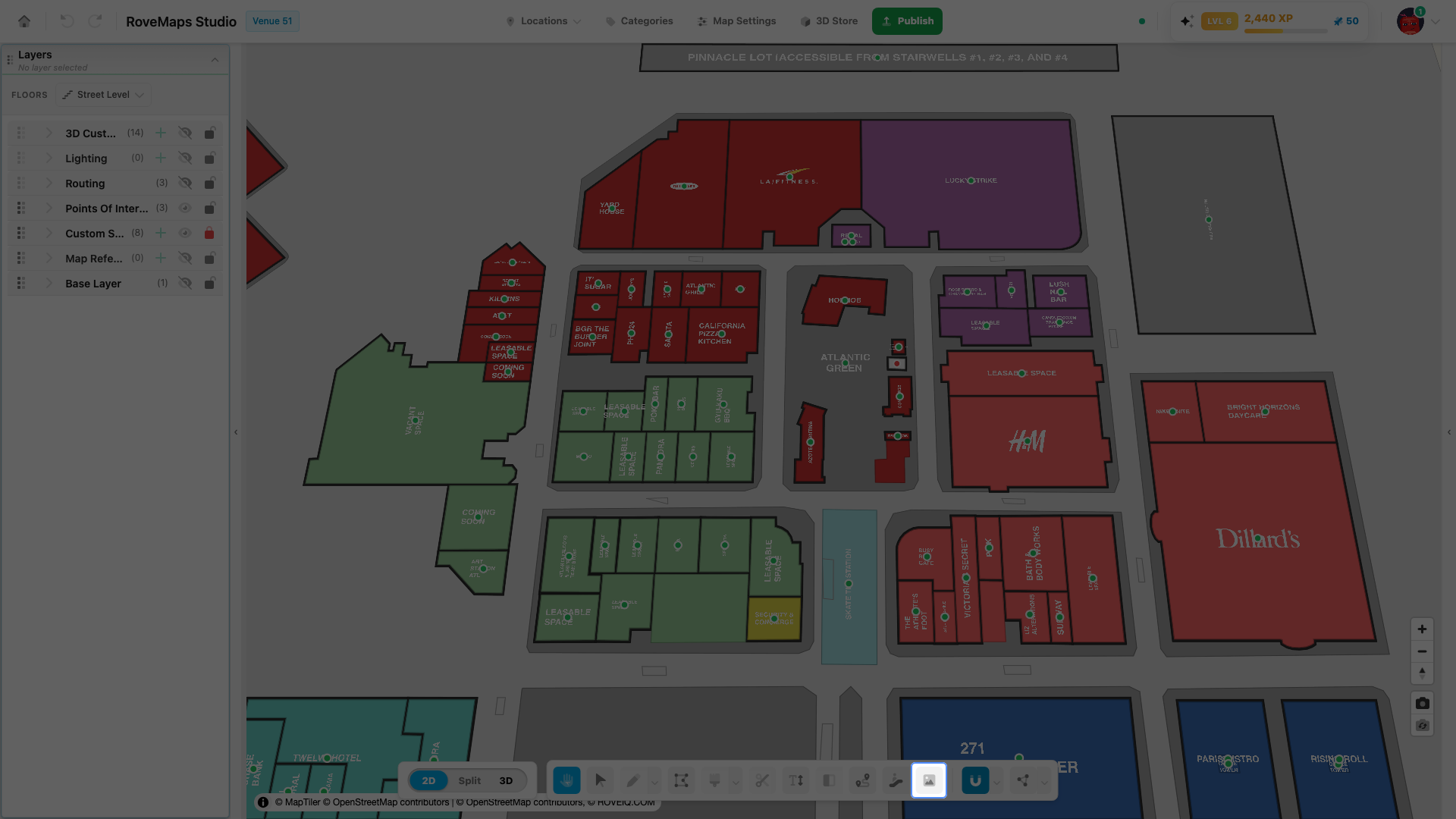
Image Reference
The Image Reference button on the bottom toolbar opens the Upload Reference workflow — the same one as the + beside Map References in the Layers panel, and the reference step of the first-run setup wizard. Use whichever entry point is easiest to find; they all manage the same references.
Open the Image Reference tool
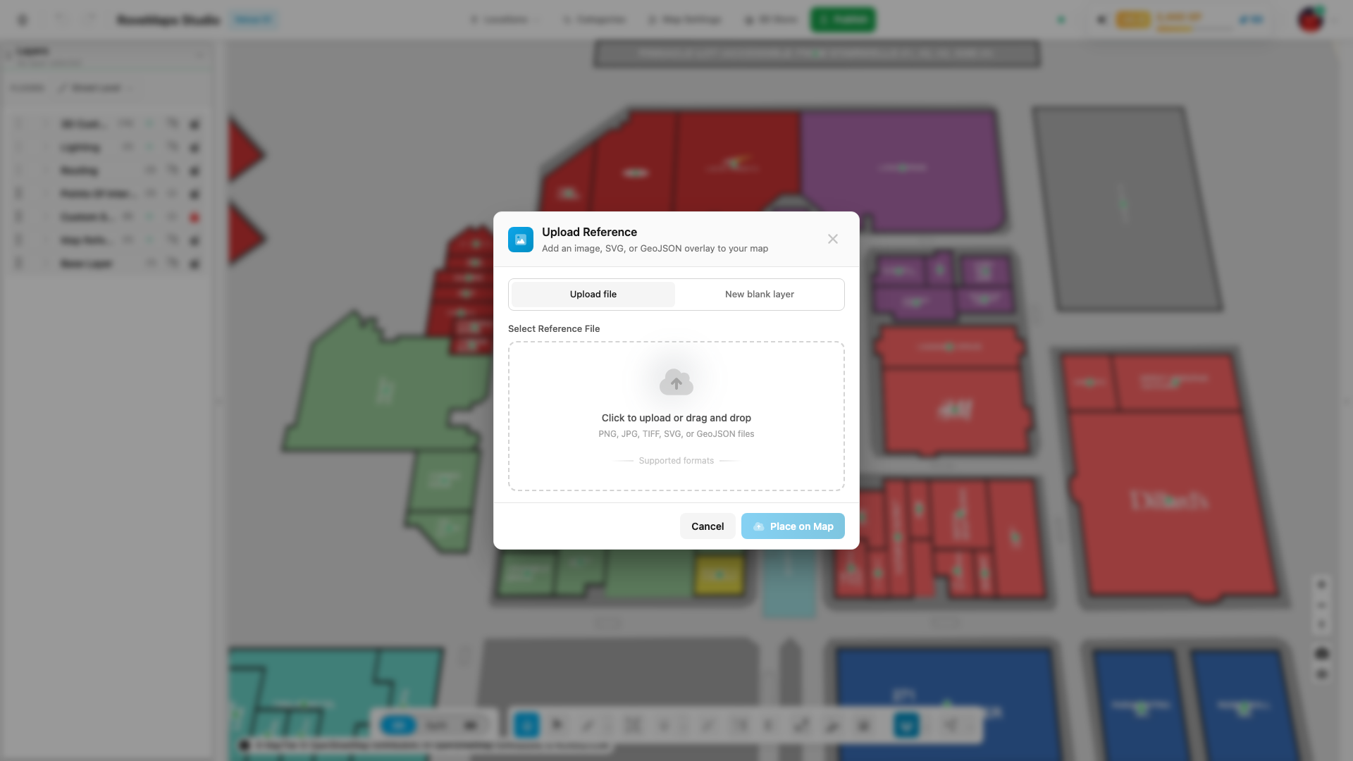
- Click Image Reference on the bottom toolbar.
- The Upload Reference modal opens, ready for a file or a blank layer.
Both entry points — this toolbar button and the + on the Map References group — open the same modal.
What you can add
References are background guides for editing; they do not become published map content unless you copy or trace their features onto a real map layer. From the Upload Reference workflow you can add:
- Raster floor plan (PNG, JPG, TIFF) — Upload a floor plan, then place, align, and optionally generate polygons.
- GeoJSON dataset — Import a GeoJSON file and copy its features onto a real layer.
- SVG drawing — Import an SVG to convert its paths to editable shapes.
- Blank layer — Create a blank layer to draw on from scratch.
Continue to the complete Map References guide for placement and alignment, AI polygon generation, GeoJSON copying, blank layers, and SVG imports.
Glossary
- Reference — background artwork (image, GeoJSON, or SVG) you trace or copy over; not published map content by itself.
- Upload Reference — the modal this button opens, shared with the Map References layer group.